Hit the Road - Fabulous Fall Drives in Western North Carolina
Hit the Road - Fabulous Fall Drives in Western North Carolina: With autumn color on full display, discover WNC’s most scenic drives, plus insider tips and points of interest along the way
WESTERN ROUTES
Indian Lakes Scenic Byway - 60 miles ➼ 2 hours
Area lakes bearing Cherokee names earned this drive its name... read more
Newfound Gap Road - 33 miles ➼ 1 hour
Topping out at 5,046 feet, Newfound Gap is the lowest driveable pass through the Great Smoky Mountains National Park, connecting Cherokee, North Carolina, to Gatlinburg, Tennessee... read more
Nantahala Byway - 43 miles ➼ 1.5 hours
The drive from Marble to Whittier along US 74 travels through Nantahala National Forest, with 20 miles encompassing the scenic Nantahala Gorge... read more
Waterfalls Scenic Byway - 98 miles ➼ 3.5 hours
From the intersection of US 64 and NC 215 in Rosman, this byway winds along US 64 west all the way to Murphy... read more

Kistler Memorial Highway
CENTRAL ROUTES
Pisgah Loop Scenic Byway - 47 miles ➼ 2.5 hours
Presenting a loop through Pisgah National Forest, this road trip takes in the mighty Linville Gorge and Lake James as well as points of historical interest, with portions of it requiring fourwheel drive... read more
Mount Mitchell Scenic Byway - 52 miles ➼ 1.5 hours
Expect an autumn drive to the summit of Eastern America’s highest mountain to be a scenic spectacle. This road trip includes just about every mountain ecosystem and color zone possible... read more
Forest Heritage Scenic Byway - 65 miles ➼ 2 hours
For sheer scenic diversity, it’s hard to beat this official US Forest Service Byway, which is a loop that includes two crossings of the parkway as it takes the measure of the Blue Ridge from deep valleys on both sides of the range... read more

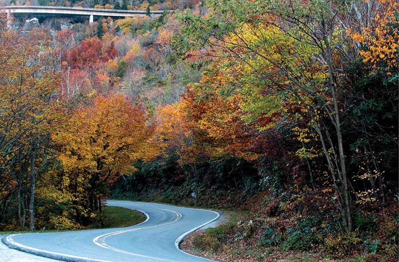
Yonahlossee Road, with the Blue Ridge Parkway above.
NORTHERN ROUTES
Mission Crossing Scenic Byway - 17 miles ➼ 45 minutes
Mission Crossing runs the rural western edge of the High Country along NC 194 from Elk Park to Vilas below the Tennessee border, and remnants of the byway’s once-isolated past make this a worthy scenic drive... read more
Yadkin Valley Scenic Byway - 65 miles ➼ 1.5 hours
Look no further than the Yadkin Valley of Surry and Yadkin counties to understand why North Carolina has reached the top-10 list of states for both wine production and number of wineries... read more
Little Parkway Scenic Byway - 18 miles ➼ 45 minutes
In 1890, more than a half-century before the Blue Ridge Parkway was even conceived, today’s US 221 was already snaking its way from touristy Blowing Rock to the isolated outpost of Linville... read more
New River Valley Scenic Byway - 35 miles ➼ 45 minutes
Even if the ironic name of the world’s second oldest river is the New, the pastoral rolling countryside of this byway won’t get old as you motor along this ancient stream in far northwestern North Carolina... read more

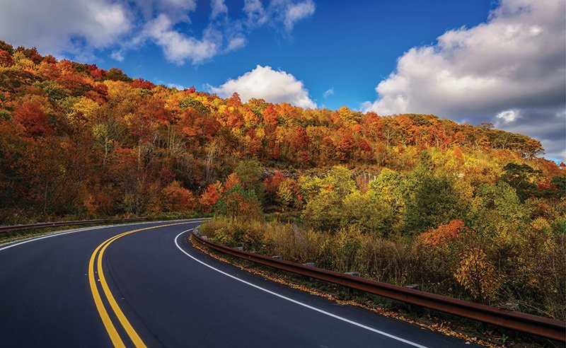
Cherohala Skyway
CLASSIC DRIVES FOR MOTORCYCLISTS AND MOTORISTS
While scenery abounds along these curvy routes, it’s the drives themselves that are the allure for both motorcyclists and motorists alike... read more
