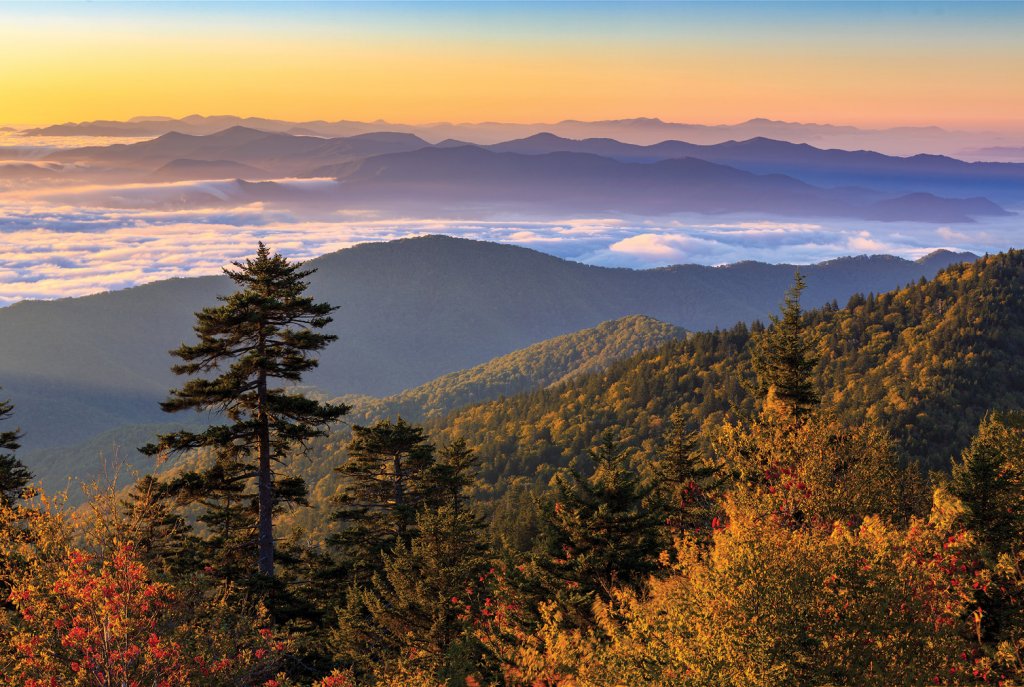
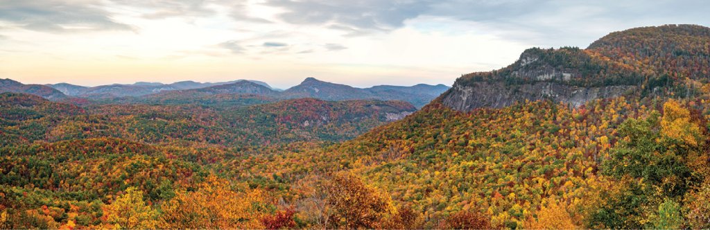
Scenic Fall Drives
Scenic Fall Drives : Head to WNC's far western areas to take in Indian Lakes, Newfound Gap, Nantahala, and Waterfalls scenic byways


Indian Lakes Scenic Byway - 60 miles ➼ 2 hours
Navigate: From US 19/74 near Almond, take NC 28 north to Tapoco, then US 129 south to Topton.
Area lakes bearing Cherokee names earned this drive its name. Set off on NC 28 from Almond for a 23-mile drive north to Fontana Village, with overlooks and roadside picnic spots along the way. Craft enthusiasts should factor in a stop at the Stecoah Valley Center (open with reduced hours) to peruse the many locally handmade crafts and also at Yellow Branch Pottery and Cheese.
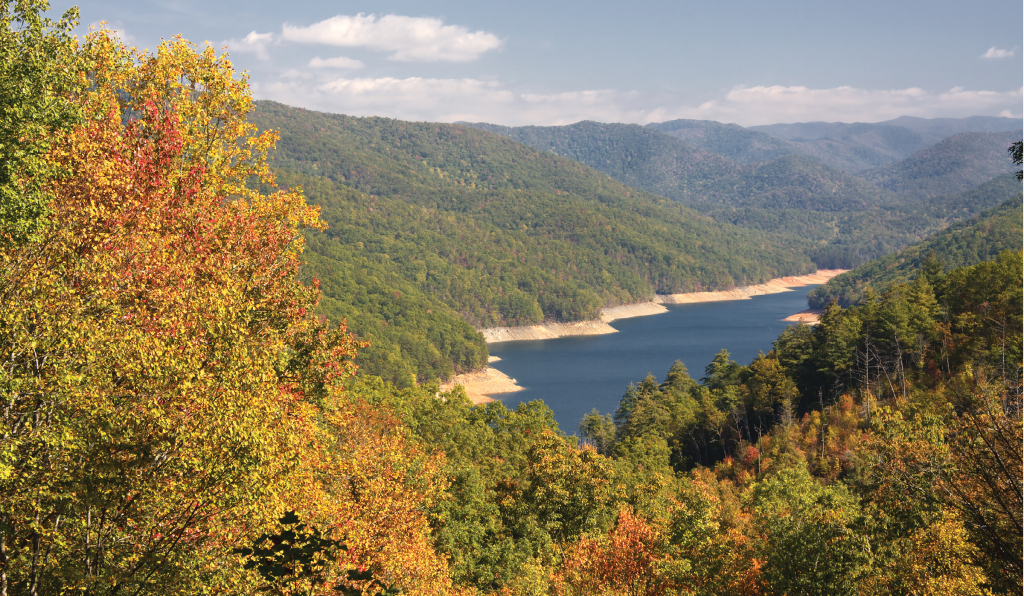
Built in 1944 as part of the war effort, Fontana Dam is the tallest dam east of the Mississippi River at 480 feet. Take time to cross its 2,365-feet expanse and you’ll be walking along the Appalachian Trail, with gorgeous lake views on one side and the spillway and Little Tennessee River on the other. The lake offers water activities aplenty, and Fontana Village Resort, originally built for the workers who constructed the dam, is a great base if you have time to stay and play.
Traveling on to Tapoco and the intersection with US 129 (also the southern terminus of the famed motorcycle route the Tail of the Dragon), head south past the Cheoah Dam, where scenes from the 1993 movie The Fugitive were filmed. The drive follows US 129 along the Cheoah River past Lake Santeetlah, where first come, first served primitive campsites can be had right on the water. The 3,849-acre Joyce Kilmer Forest is nearby, which holds great hiking trails amid a spectacular old-growth forest.
The drive continues south along US 129, bypassing Robbinsville, where Wehrloom Honey & Meadery is worth a stop for a tasting and souvenir purchase. The route ends in Topton, where it intersects with the Nantahala Byway.
Insider Tips:
➼ Bring the Bike: Encompassing 40 miles of trails on a hilly peninsula on Fontana Lake, Tsali Recreation Area is great for hiking and horseback riding, but it’s best known among mountain bikers as one of the top places in the country to ride. Camping is available.
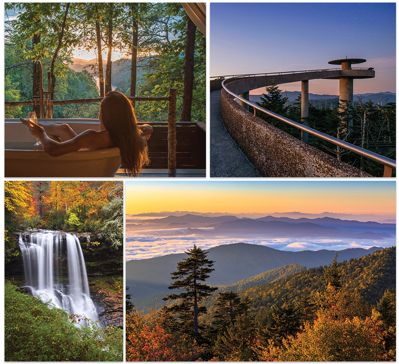
➼ Stay the Night: Lakeview at Fontana inn and spa is rustic yet refined, and its treetop soaking cabanas, with breathtaking views over the lake, are hard to beat.
===============================
Newfound Gap Road - 33 miles ➼ 1 hour
Navigate: Follow US 441, aka Newfound Gap Road, all the way from Cherokee to Gatlinburg.
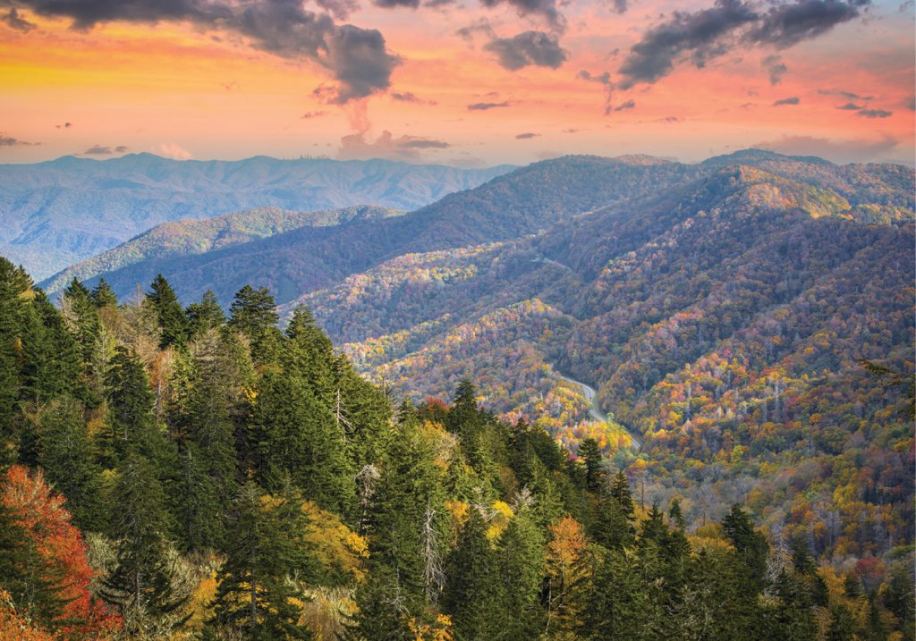
Topping out at 5,046 feet, Newfound Gap is the lowest driveable pass through the Great Smoky Mountains National Park, connecting Cherokee, North Carolina, to Gatlinburg, Tennessee. The Appalachian Trail bisects the byway at the state line, where motorists can also access Clingmans Dome, the tallest peak in the Smokies.
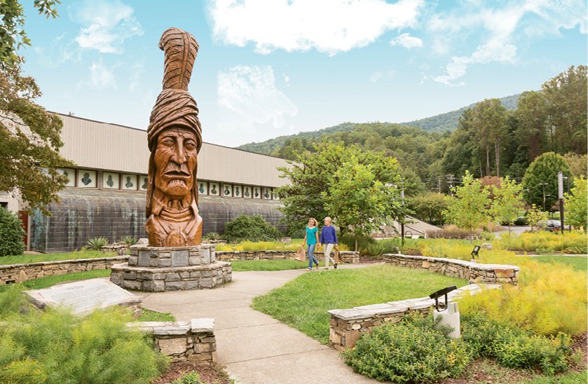
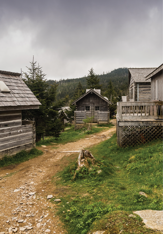
Start by exploring Native American history in Cherokee. The Museum of the Cherokee Indian, Oconaluftee Indian Village living history exhibits, and Mountain Farm Museum, with century-old structures, are all intriguing.
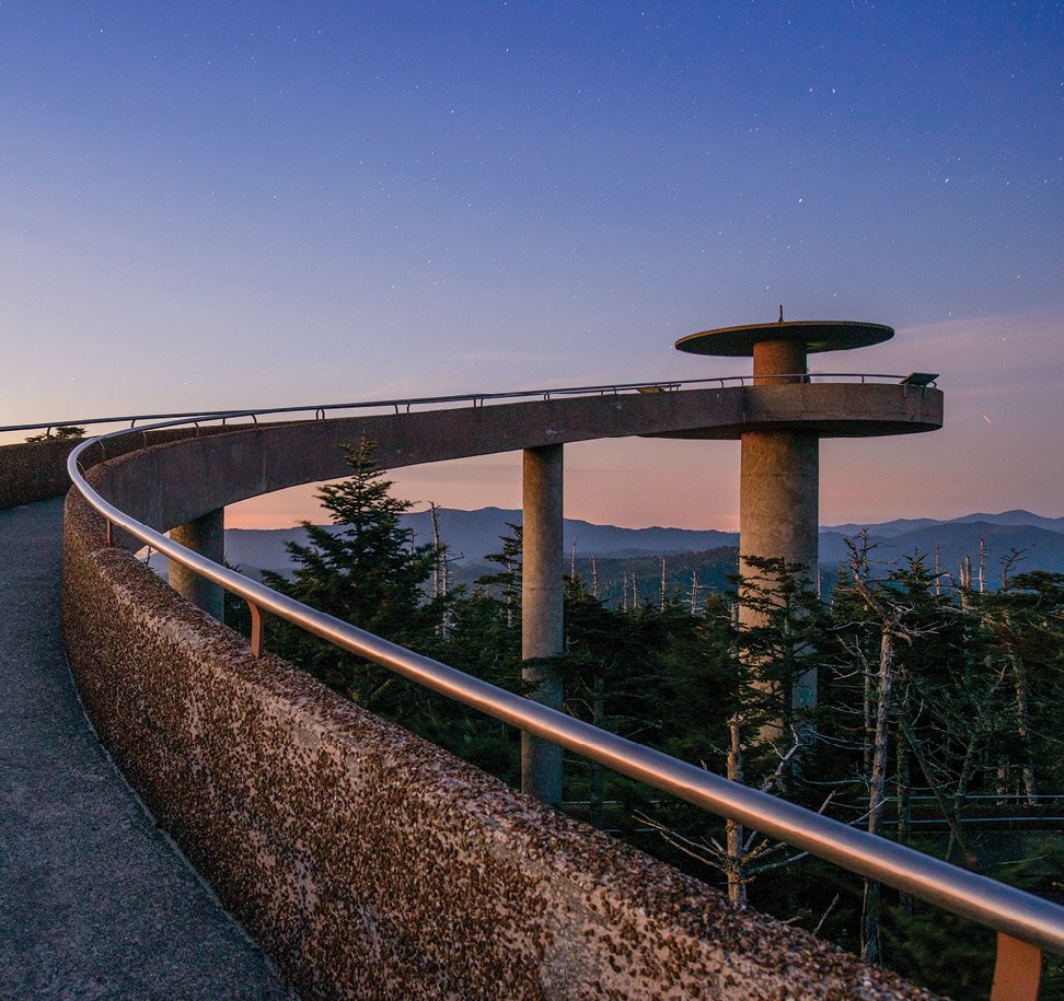
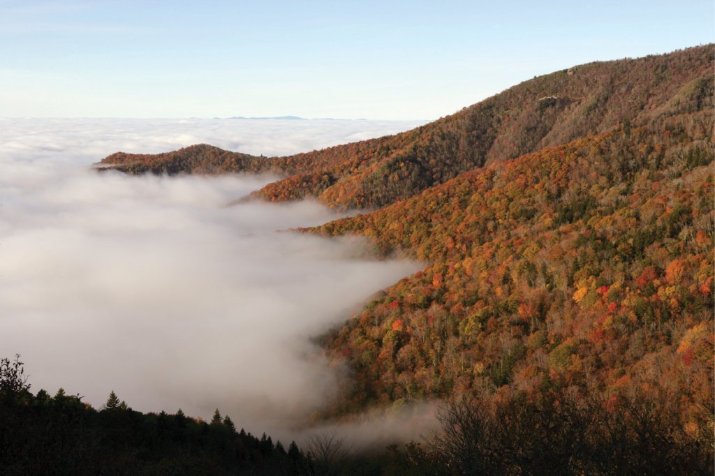
The drive switches between forested areas and scenic overlooks. Many of the stops have trailheads, too, so factor in time for a hike. The pinnacle of the journey is the 7-mile detour to the 6,643-foot summit of Clingmans Dome. It’s a short but steep walk to the observation tower, where you can take in fall-laden views in all directions.
Insider Tips:
➼ Plan Ahead: An epic hike in the Smokies is the strenuous 11-mile round-trip to Mt. LeConte via Alum Cove Trail, accessible from Newfound Gap Road. Mt. LeConte is the third highest peak in the park, but the real treasure here is LeConte Lodge, a rustic overnight facility dating to 1926 that’s only accessible on foot, though a reservation here is hard to come by. Bookings for the 2021 season begin October 1, with written requests accepted until September 25. Cancellations are announced via @LeConteLodge on Twitter, so last-minute bookings are possible. lecontelodge.com
================================
Nantahala Byway - 43 miles ➼ 1.5 hours
Navigate: Head east along US 74, 43 miles from Marble to Whittier, traveling through Cherokee, Graham, Jackson, and Swain counties.
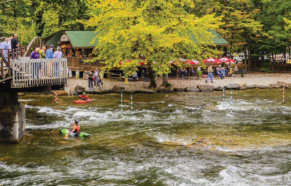
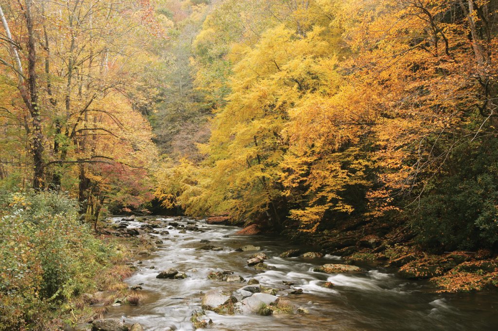
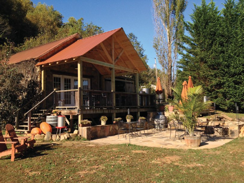
The drive from Marble to Whittier along US 74 travels through Nantahala National Forest, with 20 miles encompassing the scenic Nantahala Gorge. A stop in the rural farming community of Andrews is a chance to take in one of the country’s smallest wineries: Calaboose Cellars (open for curbside orders only at press time) is housed in the town’s first jail. In Wesser, the Nantahala Outdoor Center is a spot to grab a bite or reserve time for a wild ride on the frigid Nantahala River if the temps are agreeable. The byway passes through the Qualla Boundary, the Eastern Band of Cherokee Indians’ reservation, before reaching Whittier.
Insider Tips:
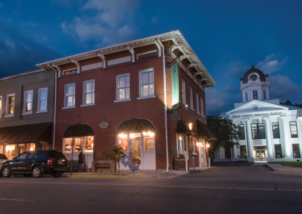
➼ Detour: Bryson City is a quaint town worth exploring. The Everett Hotel offers a splendid boutique stay, bistro dining, and a rooftop bar for guests, while the Nantahala Brewing’s Taproom + Burger Bar is a chance to eat hefty burgers and bar snacks and sip award-winning brews (outdoor seating available). Shopping, galleries, and restaurants will busy you in town, while nearby are hiking, biking, and horseback riding trails; fishing and tubing creeks; and waterfalls. greatsmokies.com
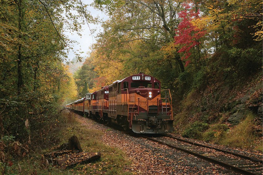
➼ Ride the Rails: Another way to see the Nantahala Gorge is aboard the Great Smoky Mountains Railroad, which departs from the depot in Bryson City. The 4.5-hour Nantahala Gorge Excursion runs through October, and reservations can be made online. gsmr.com
================================
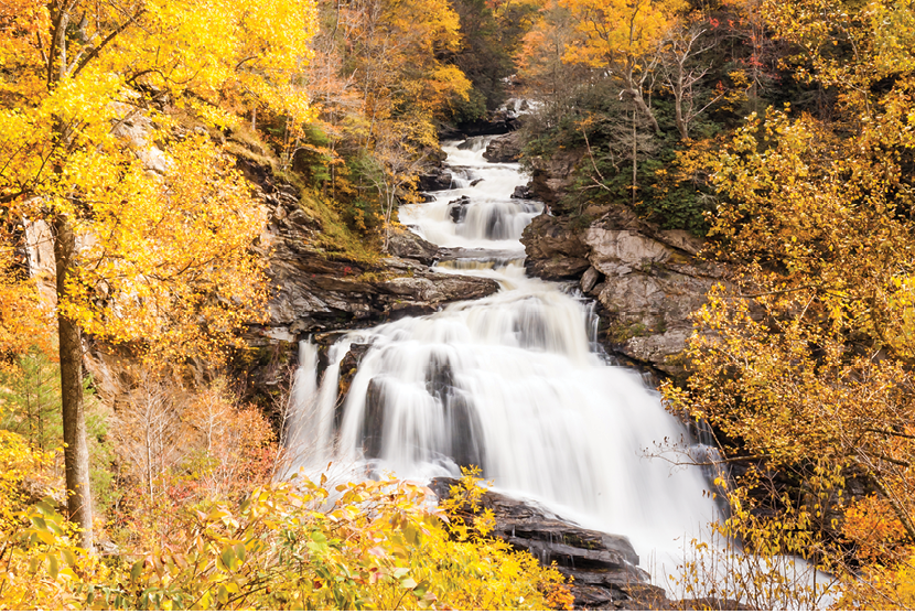
Waterfalls Scenic Byway - 98 miles ➼ 3.5 hours
Navigate: From the intersection of NC 215 and US 64 near Rosman, follow US 64 98 miles west to Murphy.
From the intersection of US 64 and NC 215 in Rosman, this byway winds along US 64 west all the way to Murphy. It bypasses dozens of cascades, plunges through the geologically unique Cullasaja Gorge, travels through quaint towns rich with Cherokee history and along mountain ridges with scenic views before reaching its terminus, where the Hiawassee and Valley rivers converge. To make the most of this drive, set aside a full day—or two—and take your time.
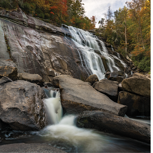
A quick first stop as you head west is Toxaway Falls. The postcard-worthy view takes in the river as it stair-steps its way 240 feet to the valley floor below. The quaint town of Cashiers isn’t far beyond, where antique shopping could busy you for hours, but factor in time for the 2.5-mile round-trip hike up Whiteside Mountain, 5.4 miles down the road. You’ll catch glimpses of the 700-foot rock face before you arrive, but the lofty vistas from the top are unbeatable. Next is the adorable town of Highlands, which warrants a day or more of exploration on its own. The dining and shopping are exquisite, and if a luxury splurge is in the cards, don’t miss the chance for rest and pampering at the Old Edwards Inn & Spa.
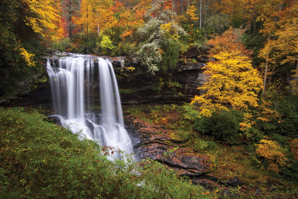
Continuing west on US 64 from Highlands to Franklin, take your time through the gorgeous Cullasaja Gorge. The heavily wooded route snakes along the Cullasaja River, past several cascades: Bridal Veil Falls, Dry Falls, and Bust Your Butt Falls, a popular swimming hole. In Franklin, named the Gem Capital of the World, you can explore how the town earned the moniker at the Gem and Mineral Museum, learn about Cherokee history at the Nikwasi Mound, and discover the region’s Scots-Irish heritage at the Scottish Tartans Museum.
The 57 miles from Franklin to Murphy is rural and very scenic, especially the 10 miles traversing the Chunky Gal Mountains before you reach Hayesville. Both Hayesville and Murphy held forts in the early 1800s, which served as stockades during the Cherokee’s forced removal along the Trail of Tears. Other options for exploration might include a horseback ride with Chunky Gal Stables, hiking or a picnic at Lake Chatuge, browsing the gallery shop at John C. Campbell Folk School, or paddling the waterways in Murphy.
Insider Tips:
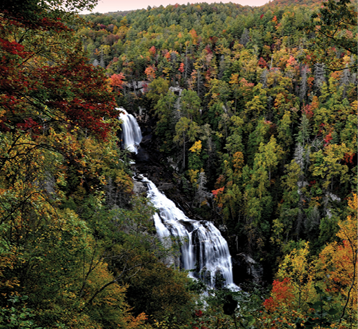
➼ Detour: From Sapphire, head down NC 281 to explore several waterfalls, including Rainbow and Turtleback falls in Gorges State Park, as well as the tallest cascade east of the Rockies: 411-foot Whitewater Falls. Though it’s only 9 miles one-way, factor in at least a half-day to explore this area.