Mount Mitchell
Mount Mitchell:
Difficulty: Strenuous
Round-Trip: 12 miles
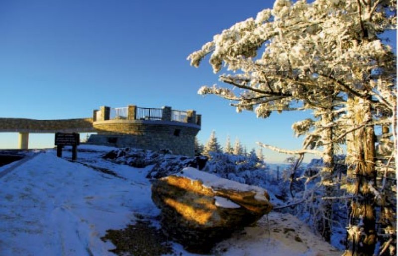
In summer, there’s hardly a busier peak than Mount Mitchell, but come winter, when the summit is pounded by extreme weather, there isn’t a more desolate vantage point. This is when hikers will find solitude and an Alpine-like experience.
From N.C. 128, follow Buncombe Horse Range Trail along the route of the white-blazed Mountains to Sea Trail. (To shorten the trip, run a shuttle to the summit.) The trail contours the railroad grade built by logging barons in the early 1900s. In roughly 4.5 miles, bear left at a switchback and continue to the site of Camp Alice, once a Civilian Conservation Corp-built outpost. It’s easy trekking to the camp, which sits at the base of the spruce and fir forest. Along this section are streams, meadows, forests of silver birch and views of the surrounding mountains. Head toward the summit by crossing Lower Creek, then turn right to follow the single-track Camp Alice Trail through the dense forest. Meet up with the Old Mitchell Trail and soon merge with the paved path to the observation platform atop the 6,684-foot peak.
Navigate: From Burnsville, follow U.S. 19 E. for 4.5 miles. Go right on Micaville Loop, then right on N.C. 80. Travel 13.7 miles, and turn right at Buck Creek Road. Turn left on the Blue Ridge Parkway and head south for 11 miles, then right on N.C. 128 for one mile. The trailhead is on the right. Call (828) 298-0398 for road closures.
