Long Hungry Loop, Santeetlah Lake Trail
Long Hungry Loop, Santeetlah Lake Trail: Distance: 3.5 miles round-trip Difficulty: Easy
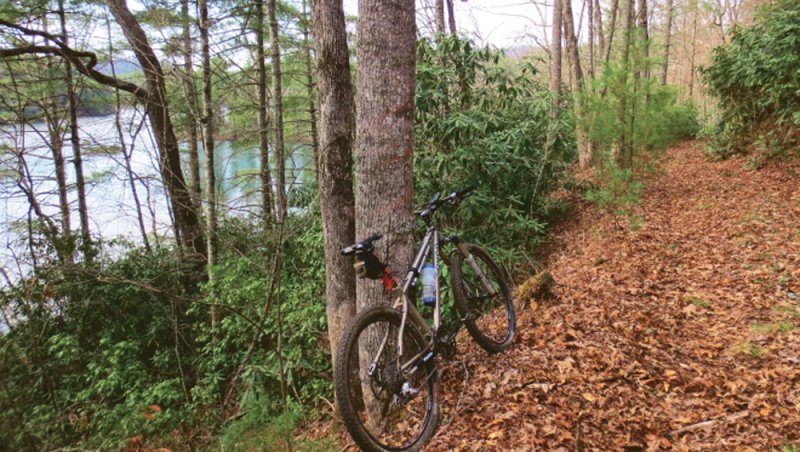
The calm waters of Lake Santeetlah are a refreshing pause for hikers along a trail system near Robbinsville in the Cheoah District of the Nantahala National Forest. In all, over three-quarters of Santeetlah’s shoreline is managed as public forest, which allows nature lovers an opportunity to enjoy the solitude of a relatively undeveloped lakeshore. An ideal hike to get to know the region is the Long Hungry Loop, a 3.5-mile walk over rolling terrain in the northern portion of the trail system. To begin the loop, follow the well-marked trail from the parking area and return to the start.
Stretches of the Long Hungry trail stick close to the shoreline on a small peninsula along the lake’s south side. Along the way, the forested peaks of the Snowbird and Cheoah mountains that frame the lake are revealed across the narrow body of water that was formed in 1928 when the Cheoah River was plugged to build a hydropower facility. Opened in 2014, The Santeetlah Lake Trail includes 15 miles of paths open to horses, cyclists, and hikers that link existing and retired forest service roads throughout a wedge of the lake’s 76 miles of shoreline.
Navigate: From Robbinsville travel north on U.S. 129 and veer left on N.C. 143. In 3.5 miles, go past the first trailhead parking area and continue an additional mile to park adjacent to Carver Cemetery on Long Hungry Road.
