Appalachian Trail: Sams Gap to High Rock
Appalachian Trail: Sams Gap to High Rock :
Difficulty: Moderate
Round-Trip: 3 miles
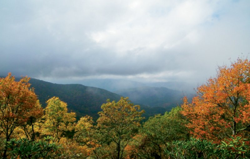
Awe-inducing vistas aren’t difficult to find in Western North Carolina; the bigger challenge is finding secluded overlooks. A lovely hike along a seldom-used section of the Appalachian Trail in the Bald Mountains hits both criteria. The trailhead, within view of Interstate 26, is also easy to access. The footpath winds through a mature ridgetop forest, alongside bygone grazing land, and ends with a lofty view from a tucked-away perch.
To begin the hike from the Sams Gap parking lot near Mars Hill, walk under the interstate, then go left up the steep road. In roughly 75 yards, turn left on the trail marked by the fenced gauging station and Appalachian Trail marker. Follow it along a ridgetop that straddles the North Carolina-Tennessee state line. In sections, the going is steep. After a mile, pass through a series of small gaps to continue the climb. Once the trail levels, look for a sign that reads “Vista 200 ft.” nailed to a tree on the right. Squeeze through a narrow gap in the trees to reach High Rock at nearly 4,500 feet. The craggy outcrop is just large enough for two to take in the grand view, ensuring a peaceful reward.
Navigate: From Mars Hill, go west on I-26. Take Exit 3, then turn left on U.S. 23A. In roughly three miles, park in the lot on the left before the I-26 overpass at Sams Gap.
