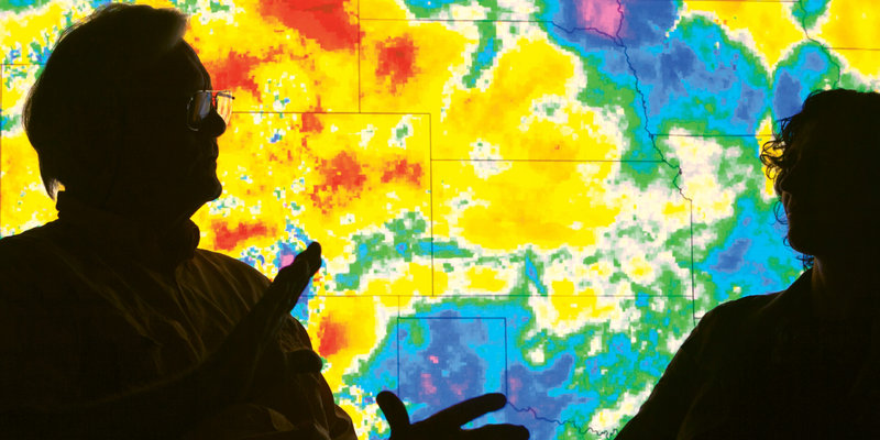
Mack Pearsall and Ana Privette in the rear projection room at NEMAC.
John Firth’s UK- and Asheville-based company Acclimatise helps developers assess investment risks associated with climate change. One instance involved massive flooding in Pakistan in 2010 .
The 2010 flooding in Pakistan (photo courtesy of NASA).
NOAA’s National Centers for Environmental Information manages climate monitoring stations that measure a slew of weather-related data at locations across the U.S.
The annual global average temperature over land and ocean reveals that between 1980 and 2015, the earth has warmed by 1°C. Will things cool down? Based on what scientists now know about greenhouse gases, experts believe the warming trend will continue, with more environmental and economic consequences.
"The most important job for us is to take an incredibly complex scientific idea and communicate it with folks who can use it to make decisions in business or in congress." —Mike Tanner, director of NOAA’s Center for Weather and Climate
Inside the federal building in Asheville, the world’s climate data is stored on massive servers. Additionally, 20,000 boxes containing weather data dating back 275 years are also under lock and key.
The early days of meteorology...
In the early days, maps were hand plotted.
A tape duplication machine was used to copy records.
Equations were scribbled in chalk.
A radar image of 1958 Hurricane Helene taken from Cape Hatteras.
In the archives of NOAA's Center for Weather and Climate
Among the handwritten archives is a weather report from Washington on the day Mount St. Helens erupted
a Washington, D.C., meteorological journal dated April 14, 1865, the day of President Lincoln’s assassination.
"I got to see more broadly and unmistakably the risk and clear and present danger of climate change." —Mack Pearsall, founding philanthropist of The Collider
More than just a co-working space, The Collider is meant to promote collaboration among climate scientists and related businesses. Friday morning “PercCollider” coffee socials are an opportunity for such exchanges.
NEMAC facilitates understanding through visual tools, including a map application to help the U.S. Forest Service monitor forest disturbance.
A NEMAC analysis of severe storms impacting the Cape Fear River Basin.
Indicator graphics for the National Climate Assessment.
"People are always amazed to learn that all of the world's climate data is stored in downtown Asheville. ... We have a tremendous resource here that is largely untapped." —James McMahon, CEO of The Collider
"We think Asheville is really well positioned to see the industry grow here. We have the talent, the academic and industry partnerships, and the federal investment." —Clark Duncan, director of Asheville’s Economic Development Coalition.
